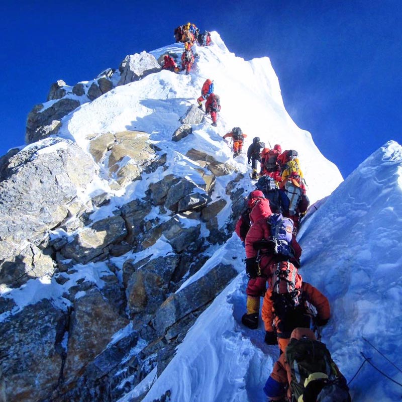
Surveyors to remeasure Everest height after Nepal quake
KATHMANDU: Indian surveyors plan to send a team to Nepal in a couple of months to "remeasure" Mt Everest's height in collaboration with the Nepali authorities and assess if the 2015 Nepal earthquake altered it, according to media reports.
Some scientists are of the opinion that the magnitude-7.8 earthquake that struck Nepal on April 25, 2015 reduced the height of the world's highest mountain, which lies in the Nepal-China border, by an inch or so.
“We are sending an expedition to Mount Everest. Everest height was declared, if I remember correctly, in 1855,” the Press Trust of India quoted Surveyor General of India Swarna Subba Rao as saying.
He made the revelation on the sidelines of a meeting of Geospatial World Forum in Hyderabad.
“Many others also measured it. But the height given by the Survey of India, even today, is taken as the correct height. It is 29,028 feet. We are remeasuring it. Two years have passed since the major Nepal earthquake. After that, there is a doubt in the scientific community that it is shrinking. That is one of the reasons. Second reason is, it helps in scientific studies, plate movements etc,” he
said.
Rao claimed that all the necessary approvals were obtained for the expedition.
BBC, on the other hand, later reported that Nepali officials told it no agreement had been reached on allowing an Indian team access.
Ganesh Bhatta, the deputy chief of Nepal's survey department, said there was no agreement with India, adding that Nepal was in fact planning its own survey.
The endeavour would take about a month for observation and 15 more days for computation and declaration of data, Rao said.
It is estimated that the scientific expedition would cost around USD 700,000.


