New map accurately depicts sovereign Indian territory, claims India’s foreign ministry
Kathmandu, November 7
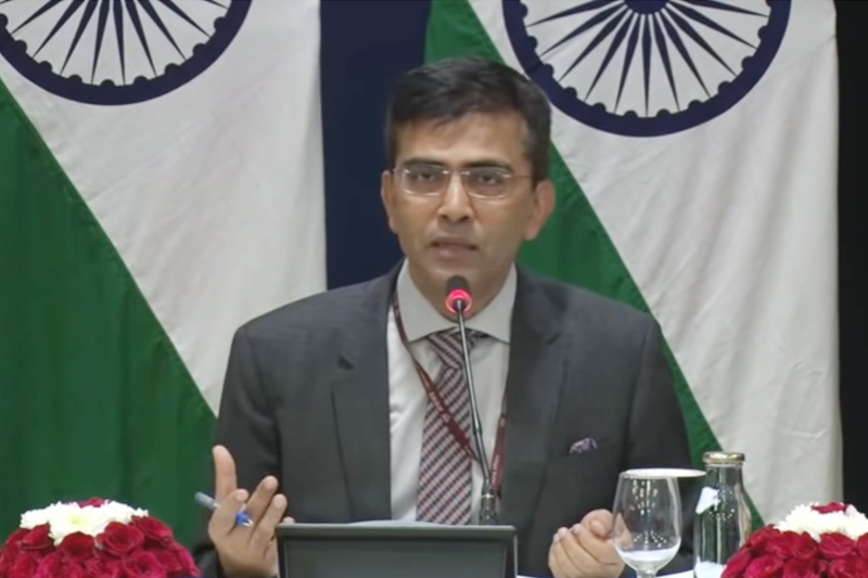
Spokesperson for the Indian Ministry of External Affairs Raveesh Kumar today said India’s new map accurately depicted the sovereign territory of India and the new map had in no manner revised India’s boundary with Nepal.
He said this in response to a journalist’s query in the weekly briefing in New Delhi today.
[youtube https://www.youtube.com/watch?time_continue=1119&v=VbrLln1Dbik]
According to an audio-visual briefing detail posted on the MEA website, Kumar also said, “The boundary delineation exercise with Nepal is ongoing under the existing mechanism. We reiterate our commitment to find a solution through dialogue in the spirit of our close and friendly bilateral relations. At the same time, I think this is very important to note that both sides should guard against vested interests trying to create a rift between two countries.” Nepal’s Ministry of Foreign Affairs yesterday issued a press release saying any outstanding issues related to border between India and Nepal should be resolved on the basis of mutual agreement.
The ministry issued the statement after recently published political map of India depicted the Kalapani region as Indian territory.
READ ALSO:


