Cabinet okays issuance of new map
Kathmandu, May 18
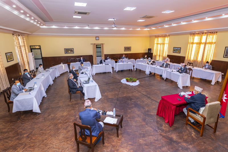
A Cabinet meeting held this evening has approved the issuance of a new political map of Nepal incorporating Limpiyadhura, Lipulekh and Kalapani. India has counter claims on these areas.
Minister of Women, Children and Senior Citizens Parvat Gurung said today’s Cabinet approved the map that depicted Limpiyadhura, Lipulekh and Kalapani as Nepal’s territory and that the map would be issued by the relevant government body soon. Minister of Foreign Affairs Pradeep Kumar Gyawali also wrote on twitter that the Cabinet had decided to issue a new map incorporating Limpiyadhura, Lipulekh and Kalapani. The minister said the new authentic map would be issued by the line ministry soon, clearly depicting the boundaries of seven provinces, 77 districts and 543 local levels.
President Bidhya Devi Bhandari, while presenting the policies and programmes of the government on Friday, had assured the public that a new political map would be issued incorporating these territories.
Ministry of Land Management, Cooperatives and Poverty Alleviation had prepared the map which was presented at the Cabinet meeting by Minister of Land Management, Cooperatives and Poverty Alleviation Padma Kumari Aryal for approval. Tourism minister Yogesh Bhattarai lauded the government’s step as historic.
The government’s decision comes in the wake of India recently inaugurating a link road from Pithoragarh in Uttaranchal to Mansarovar in Tibet Autonomous Region of China via Lipulekh pass.
A version of this article appears in e-paper on May 19, 2020, of The Himalayan Times.


