Rainfall to continue for two more days
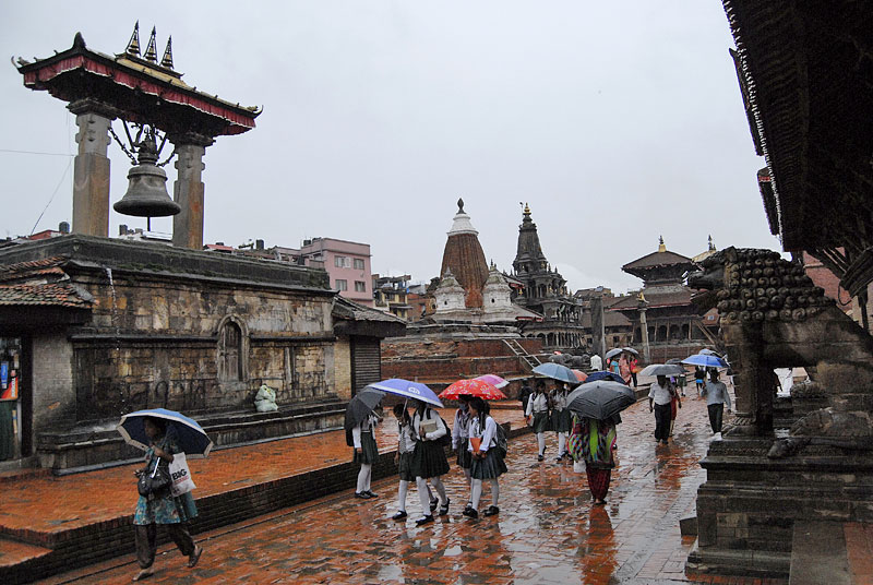
KATHMANDU: Widespread rainfall is expected to continue throughout the far-western, mid-western and central regions for a day or two, said the Meteorological Forecasting Division on Saturday.
According to a special weather forecast issued by MFD, isolated heavy downpour is likely at a few places of the far-west (Dadeldhura, Dhangadi, Mahendranagar, Baitadi, Darchula, Bajhang, Bajura, Achham, Doti and adjoining areas), mid-western and central regions increasing the risk of landslides and floods. This weather system will also result in severe thunderstorms in a few places of those regions.
The rainfall-producing system might be focused in the mid and far-west region tomorrow as well, it said.
As many as 18 out of the 19 meteorological stations recorded rainfall across the country on Saturday .
MFD informed that Jomsom was the sole meteorological station which did not record rainfall. Dharan received the highest 24-hour rainfall with 100mm followed by Bhairahawa (74.3mm), Birendranagar (49.2mm), Pokhara (41.1mm) and Kathmandu (37.7mm), among others.
Weather officials warned that the heavy downpours were likely to trigger flood and landslides in areas where the land had been ruptured by the April 25 earthquake and its powerful aftershocks.
The onset of this year’s monsoon was officially declared on June 13 — three days later than the normal date — after the rain-bearing system built up and entered the eastern parts of the country.
Monsoon generally starts on June 10 and spreads over the country in a few days, and remains effective till September 23 in Nepal.
Nepal receives an average of 80 per cent of annual rainfall during monsoon, which originates in the Bay of Bengal and moves along the southern flanks of the Himalayas, bringing rain to Nepal.


