Lipulekh, Limpiyadhura, Kalapani: Trying to understand the dispute
Kathmandu, May 11, 2020
TIMELINE OF RECENT EVENTS
2019
- India on October 31 released a map incorporating the disputed territory of Kalapani
- Nepali officials called out on the new map alleging encroachment
- MEA claims Indian map has accurately depicted the Indian territory
2020
- On Friday, India inaugurated a road through the controversial territory
- Widespread protests staged in Kathmandu in response
- MoFA released a press release objecting Indian government's activity in Nepali territory
- MEA of India responded to Nepal Government’s statement on the issue; claimed that the recently inaugurated road section completely within the territory of India
- Protests erupted in Kathmandu, the Nepali capital, claiming that the southern neighbour has encroached Nepali land
- The protests were followed by a series of arrests
- On Sunday, the two chairs of ruling Nepal Communist Party (NCP) -- Prime Minister KP Sharma Oli and former PM Pushpa Kamal Dahal -- issued a statement
- On the same day, GoN reiterated its commitment to finding a solution to the Nepal-India boundary debate through diplomatic efforts
- The day too saw a series of protests and arrests
- Opposition parties including major opposition party Nepali Congress released statements demanding that the government initiate high-level diplomatic dialogue
BRIEF
The Indian Government on October 31, 2019 published a new political map of India comprising the newly formed Union Territories of Jammu & Kashmir and Ladakh. The new geographical map of India, however, has triggered widespread national outrage in Nepal, which alleges the Indian officials of encroaching Kalapani, which is an integral part annexed to Nepal. The Government of Nepal has been assuring its public that diplomatic efforts with the Indian officials are underway to resolve the matter. Meanwhile, the issue that has been prevalent for a long time has resurfaced once again after India inaugurated a road through the Nepali territory in May 8, 2020.
Ministry of Foreign Affairs (MoFA), after the map was published, in November, 2019, in response to the new map issued by India, has twice published statements addressing the Indian government proposing dates to hold bilateral meetings between foreign secretaries of the two countries as representatives. The Indian side has not responded yet and as a result, no diplomatic discussions have been held between the two nations to resolve the issue.
A day after Nepal strongly objected to the recently-released Indian political map at a press meet held at the ministry, MEA Spokesperson Raveesh Kumar claimed that the Indian map has accurately depicted the sovereign territory of India.
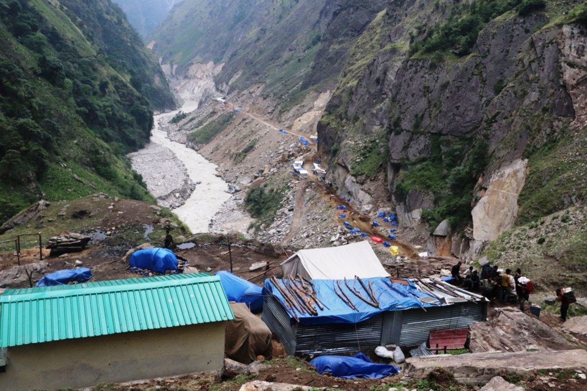
Later, in May 2020, Rajnath Singh, the Defence Minister of India inaugurated a road that connects Dharchula in Uttarakhand to the Lipulekh Pass in Sudurpaschim on Friday.
This action led to vehement protests in Kathmandu, on Saturday, from Nepali students demanding the government to address the issue and make the public aware about the government's response.
Lipulekh also serves as the Indo-China border. The British military during the Indian occupancy intentionally shifted the border and legalised its ownership of the territory. This was done in an attempt to direct trade route to China, shortening distance.
In 2015, India and China signed a bilateral agreement on operating a checkpoint in Lipulekh, identifying it as a bilateral crossing point and not a tri-junction.
Whenever the dispute resurfaces, Indian officials state that the issue should be addressed without impacting its 2015 agreement with China. However, Nepali officials deny the statement.
Nepali authorities claim that an artificial stream was constructed in Kalapani which later meets the river originating in Lipulekh, which was done by the Indian officials to prolong its illegal rule in Kalapani. However, official records are absent claiming this stream to be the border line.
All the Nepali maps issued after 1975 are wrong as the maps were referred from the Indian maps, without field surveys. India has been using the same map since 1962.
A joint commission, which currently is inactive, has been formed with foreign secretary of each nation as representatives.
It is fascinating that the new map issued by India contradicts India’s claim to Kalapani. The new map of India considers the river originating from Limpiyadhura as the Kali river, which is the border line according to the Sugauli Treaty.
However, the river is incorporated as the Indian territory. This reflects that India has refrained from its historical stance on the origin of the Kali river and considered Limpiyadhura as the origin of the Kali river, which is common to Nepal’s claim.


