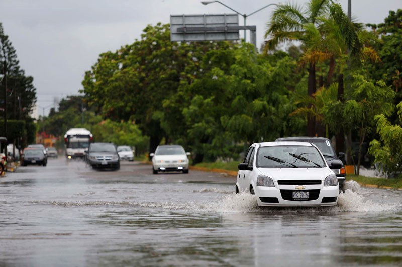
Javier weakens as it mover over Mexico's Baja peninsula
In a respite to waterlogged Mexico, Javier weakened on Tuesday to a tropical depression as it traveled over the southern half of Mexico's Baja California peninsula, the US National Hurricane Center (NHC) said.
The storm was moving northwest at 6 mph (10 kph) along the western-most portion of Mexico, featuring weakening maximum sustained winds of 35 mph (56 kph), the NHC said.
"Additional weakening is expected during the next couple of days, and Javier is forecast to become a remnant low within the next day or so," the Miami-based center said in a statement.
Still, the storm is expected to dump between 2 to 4 inches (5-10 cm) of rain over the southern half of Baja as well as northwest mainland Mexico through Thursday morning.
"The expected rainfall could cause life-threatening flash floods and mud slides," the NHC said.
In eastern Mexico, mudslides triggered by intense rainfall in the wake of Tropical Storm Earl claimed 40 lives last weekend as saturated hillsides collapsed onto homes, burying people inside.


