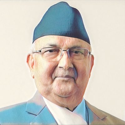
Ball in PM Oli’s court, says NC spokesperson
Kathmandu, November 12
The main opposition Nepali Congress today said the ball was now in the prime minister’s court for resolving the Kalapani issue.
Speaking at a press conference, NC Spokesperson Bishwa Prakash Sharma said the prime minister and his government had a golden opportunity to hold serious dialogue with India on the issue as the entire country, including opposition parties, unanimously supported the government’s stand that the Kalapani region was Nepali territory.
“The Nepali Congress, as an opposition party, supports the prime minister and the government on the issue and believes that the government is capable of resolving it through diplomatic and political efforts,”
Sharma said, reiterating the NC’s position that historic documents and facts proved Kalapani was Nepali territory.
After an Indian political map published on November 2 depicted the Kalapani region, including Lipulekh, Limpiyadhura and Kalapani, as Indian territory, the government has already made its position clear that it will not accept such unilateral decision on outstanding border-related issues.
An all-party meeting on Saturday also concluded that the Kalapani region was Nepali territory and any such border-related issue should be resolved through dialogue and mutual understanding.
The Parliamentary State Affairs and Good Governance Committee yesterday directed the government to correct erroneous maps of Nepal in educational and other materials and publish a new one encompassing Kalapani, Lipulekh and Lipubhanjyang, collectively the Kalapani region, on the eastern side of the Mahakali River originating from Limpiyadhura.
The Ministry of Foreign Affairs has already launched diplomatic efforts to hold dialogue with India on the issue.
Nepal’s Ambassador to India Nilambar Acharya last week met Indian Foreign Secretary Vijay Keshav Gokhale to hold discussion about the issue.
Both Nepal and India claim Kalapani as their territory.
The region has been occupied by Indian security forces since 1962.
Spokesperson for India’s Ministry of External Affairs Raveesh Kumar had said last week that India’s map accurately depicted the sovereign territory of India, and that it had in no manner revised the boundary with Nepal.


