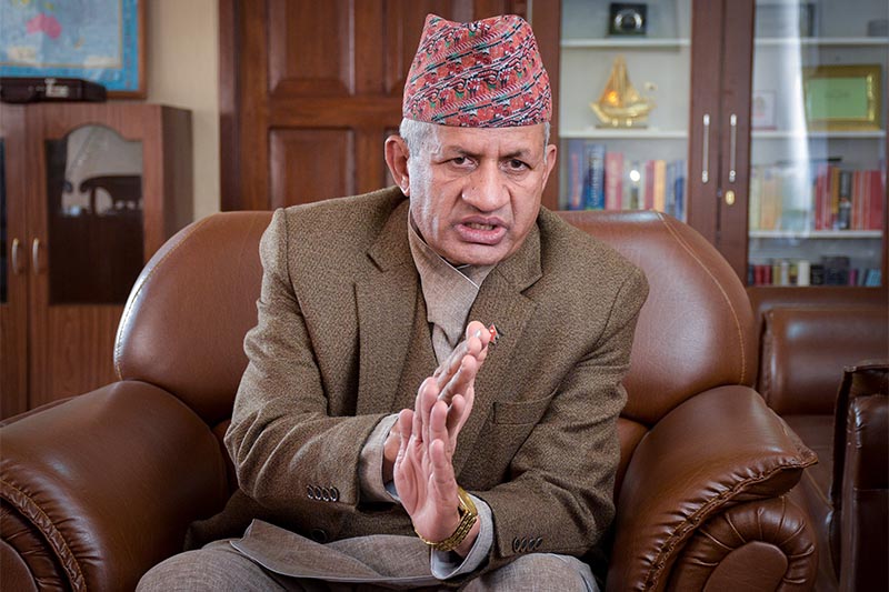
‘India, China can’t discuss Lipulekh in Nepal’s absence’
- Won’t accept Lipulekh as Nepal-India-China tri-junction
- Won’t sign on strip map unless Kalapani, Susta issues resolved
Kathmandu, February 10
Minister of Foreign Affairs Pradeep Kumar Gyawali today made the government’s stand clear saying that India and China could not discuss Lipulekh in Nepal’s absence.
He also said Nepal would not sign on the Nepal-India border strip map unless Kalapani and Susta disputes were resolved.
“The Nepal government does not accept Lipulekh as tri-junction between Nepal, India and China. It will be finalised only after Nepal and India agree to demarcation. The Nepal government does not accept the previous regime’s wrong decision,” Gyawali told a meeting of the International Relations Committee of House of Representatives.
Indian Prime Minister Narendra Modi and Chinese President Xi Jinping made a joint statement in 2014 stating that Lipulekh was a bilateral trade route between the two countries. Nepal has been opposing the statement saying it was against the provisions of the 1816 Sugauli Treaty signed between Nepal and India. “No country can discuss Nepal’s territory in Nepal’s absence,” Gyawali said.
He said although the Indian government had proposed to sign 182 strip maps, the Nepal government would not sign unless Kalapani and Susta disputes were resolved. “We have formed a mechanism to resolve the issue and it is working on it. We hope a report will come within three-and-a-half years,” he said.
Gyawali also said the government was capable of protecting its territory as per the demarcation based on the previous treaties of 1816, 1860 and 1875.
“We have serious concerns about cross-border crime and trans-national criminal activities carried out by exploiting the open border. We are in favour
of border regulation without creating hassles for peoples residing in border areas. We will manage our borders as per the recommendations of the Eminent Persons Group,” Gyawali said, adding that problems would be resolved through diplomatic channel.
According to Gyawali, 2,500 pillars along the Nepal-India border had to be maintained, while 1,400 had to be built along rivers. There are 6,000 pillars along
the Nepal-India border and some of them have been destroyed, while others have to be maintained. Gyawali said issues related to Indians holding land plots in Nepal and Nepalis holding land plots in India as a result of change in the direction of rivers were in status quo.
Nepal Communist Party Lawmaker Bhim Rawal said such crossholding-related issues were present in 71 locations between Nepal and India.
Nepal and India share 1,880 km border. A total of 15,000 armed police force have been deployed at 104 posts, and there are plans to increase them to 174 posts.
On the northern side, out of 100 border signs, No 57 border sign at Lamabagar in Dolakha is complicated. “The sign should have been placed on the top of the hill, but has been placed on the slope,” Gyawali said.
Gyawali said measurement of Mount Everest would be completed by next year. Nepal government measures up till the snow level, while the Chinese government measures up till the rock, said Gyawali.
The government is planning to establish armed police force at Olangchunggola, Kimathanka, Hilsa and Korala in the northern border.


