Strong low-pressure system the cause
Kathmandu, June 7
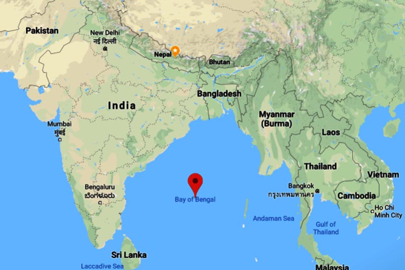
Violent dust storm that swept through parts of Kailali and Kanchanpur districts last night had resulted when moist air from the Bay of Bengal met a strong low-pressure system, said the Meteorological Forecasting Division.
The MFD admitted that it hadn’t predicted such a fierce windstorm in any part of the country, including Kailali and Kanchanpur. The wind packed speeds up to 96 kilometres per hour in some areas.
“It was a severe wind gust and has been attributed to the local phenomenon of pre-monsoon period when cumulonimbus clouds develop in the sky,” Senior Divisional Meteorologist Raju Dhar Pradhananga told THT.
Cumulonimbus clouds are responsible for windstorm, thunderstorm and hailstorm.
Cumulonimbus clouds are formed in the sky in the afternoon or evening when the atmosphere is highly unstable because of high temperatures prevailing at lower levels, he said.
The Department of Hydrology and Meteorology stated that the weather system, which developed over western Nepal, lashed Kailali and Kanchanpur while moving to the central region. The weather system also brought strong winds to Kathmandu valley in the wee hours today. However, no damage was reported. The winds cleared the sky and made it remarkably sunny, offering a spectacular view of mountains surrounding the valley.
A press release issued by the DHM has also warned all to stay alert against the possibility of strong winds and lightning across the country during the pre-monsoon season.


