Cyclone Daye expected to bring more rain
[video width="1280" height="914" mp4="https://thehimalayantimes.com/uploads/imported_images/wp-content/uploads/2018/09/Cyclonic-storm-Daye.mp4" autoplay="true"][/video]
Kathmandu, September 21
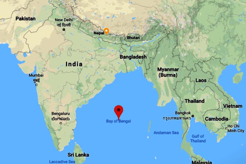
Cyclonic storm Daye resulting from a monsoon low in the Bay of Bengal is likely to bring rains to Nepal for two more days.
According to Meteorological Forecasting Division, most parts of the country received light rainfall due to the cyclonic storm. Flood Forecasting Section under the Department of Hydrology and Meteorology has appealed to all to maintain high alert in the Narayani River basin and the plains of the far western region for a couple of days.
Daye is the first named storm in the Bay of Bengal this year. It is expected to bring heavy rainfall as it tracks slowly north-westwards across the northern half of India after making landfall over the southern Odisha and northern Andhra Pradesh coasts.
Cumulonimbus clouds have also been developing in the Narayani, West Rapti, Babai, Karnali and Mahakali river basins, causing light rainfall. “However, there is no chance of high flood risk,” MFD stated.
As the storm continues to move towards north-west, heavy rainfall is likely to spread into Chhattisgarh, eastern Madhya Pradesh and south-east Uttar Pradesh, stated the Indian media.
The normal monsoon withdrawal date in Nepal is September 23, but this surge of rainfall is expected to prolong the official monsoon season for a few more weeks.


